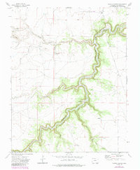
1972 Map of Painted Canyon
USGS Topo · Published 1985About this map
The Purgatoire River carves a deep, winding path through this corner of Las Animas County, shaping a landscape of steep-walled canyons and ephemeral drainages. In the center of the map, Painted Canyon and its associated side-draws like Hunt Canyon and Kiowa Canyon demonstrate the intense erosional patterns typical of the Colorado high plains. The terrain is further defined by prominent landmarks such as The Hogback in the northwest, which rises above the expansive drainage basin of the Van Bremer Arroyo.
Find a feature on this map
18 named features on this map. Tap any name to fly to it.
Don’t see what you’re looking for? This feature index may not catch every label — zoom into the map to look around manually.
Map Details
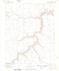
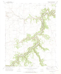
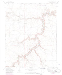
Editions of this 1972 Painted Canyon Map
4 editions found
Other maps of this area

1891 · Mesa De Maya
USGS Topo · 1:125,000

1892 · Elmoro
USGS Topo · 1:125,000

1893 · Elmoro
USGS Topo · 1:125,000

1893 · Mesa de Maya
USGS Topo · 1:125,000

1897 · Elmoro
USGS Topo · 1:125,000

1954 · Trinidad
USGS Topo · 1:250,000

1955 · La Junta
USGS Topo · 1:250,000

1955 · Trinidad
USGS Topo · 1:250,000

1958 · La Junta
USGS Topo · 1:250,000

1958 · Trinidad
USGS Topo · 1:250,000