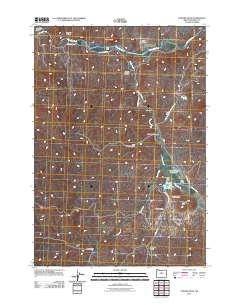
2011 Map of Painted Hills
USGS Topo · Published 2011About this map
Painted Hills State Park serves as the focal point of this Wheeler County terrain, where the geological formations of the Painted Hills are clearly delineated alongside significant features like Carroll Rim and Rainbow Hill. The drainage patterns of Bridge Creek and Bear Creek dominate the central and southern portions of the map, eventually feeding toward the John Day River at the northern edge.
Find a feature on this map
26 named features on this map. Tap any name to fly to it.
Don’t see what you’re looking for? This feature index may not catch every label — zoom into the map to look around manually.
Map Details
Editions of this 2011 Painted Hills Map
This is the sole edition of this map. No revisions or reprints were ever made.
Other maps of this area

1926 · Mitchell
USGS Topo · 1:125,000

1955 · Bend
USGS Topo · 1:250,000

1957 · Bend
USGS Topo · 1:250,000

1958 · Bend
USGS Topo · 1:250,000

1966 · Mitchell
USGS Topo · 1:62,500

1966 · Kinzua
USGS Topo · 1:62,500

1966 · Clarno
USGS Topo · 1:62,500

1968 · Painted Hills
USGS Topo · 1:24,000

1968 · Lawson Mtn
USGS Topo · 1:24,000

1968 · Stephenson Mtn
USGS Topo · 1:24,000