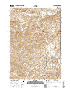
2017 Map of Painted Hills
USGS Topo · Published 2017About this map
The John Day Fossil Beds National Monument anchors the southeast corner of this Wheeler County landscape, highlighting a region defined by dramatic geological formations. The eponymous Painted Hills are joined by nearby landmarks like Carroll Rim and the colorful Rainbow Hill, while smaller features such as Brown Grotto and Red Scar Knoll dot the surrounding canyons. This 2017 survey illustrates the complex drainage network of the John Day River and its many tributaries, including Bridge Cr and Bear Cr. The human footprint is marked by long-established routes such as Burnt Ranch Rd and Bear Creek Rd, which navigate the deep incisions of Shaw Canyon and Coyote Canyon. The presence of the Painted Hills Reservoir and various springs, like Stovepipe Spring, indicates the critical role of water management in this high-desert environment.
Find a feature on this map
29 named features on this map. Tap any name to fly to it.
Don’t see what you’re looking for? This feature index may not catch every label — zoom into the map to look around manually.
Map Details
Editions of this 2017 Painted Hills Map
This is the sole edition of this map. No revisions or reprints were ever made.
Other maps of this area

1926 · Mitchell
USGS Topo · 1:125,000

1955 · Bend
USGS Topo · 1:250,000

1957 · Bend
USGS Topo · 1:250,000

1958 · Bend
USGS Topo · 1:250,000

1966 · Mitchell
USGS Topo · 1:62,500

1966 · Kinzua
USGS Topo · 1:62,500

1966 · Clarno
USGS Topo · 1:62,500

1968 · Painted Hills
USGS Topo · 1:24,000

1968 · Lawson Mtn
USGS Topo · 1:24,000

1968 · Stephenson Mtn
USGS Topo · 1:24,000