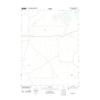
2011 Map of Painted Point
USGS Topo · Published 2011About this map
Captain Johnson Reservoir and several ephemeral water bodies characterize this high desert landscape in northwestern Nevada. The map documents a territory defined by remote springs and basins, where seasonal water sources like West Lake and Massacre Lake dictate the geography of the Great Basin. This 2011 survey captures the network of isolated tracks and trails that traverse the region, providing a baseline for understanding the sparse infrastructure of the high plateau.
Find a feature on this map
10 named features on this map. Tap any name to fly to it.
Don’t see what you’re looking for? This feature index may not catch every label — zoom into the map to look around manually.
Map Details
Editions of this 2011 Painted Point Map
This is the sole edition of this map. No revisions or reprints were ever made.
Other maps of this area

1889 · Long Valley
USGS Topo · 1:250,000

1954 · Vya
USGS Topo · 1:250,000

1958 · Vya
USGS Topo · 1:250,000

1962 · Vya
USGS Topo · 1:250,000

1966 · Massacre Lake NW
USGS Topo · 1:24,000

1966 · Vya
USGS Topo · 1:24,000

1966 · Massacre Lake
USGS Topo · 1:24,000

1966 · Alkali Lake
USGS Topo · 1:24,000

1966 · Massacre Creek
USGS Topo · 1:24,000

1966 · Painted Point
USGS Topo · 1:24,000