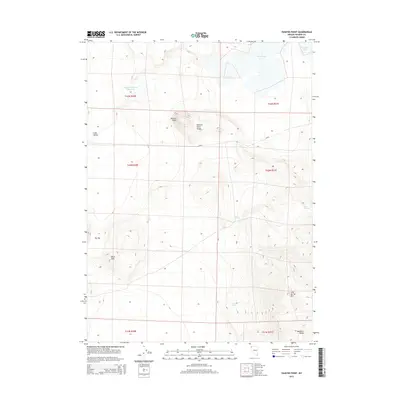
2015 Map of Painted Point
USGS Topo · Published 2015About this map
Captain Johnson Reservoir sits at the northern end of this high-desert basin, where the Painted Point Range and the eastern edge of the Massacre Range define the local topography. This 2015 survey highlights a landscape where water management and seasonal drainage dictate the character of the land, evidenced by West Lake and Middle Lake to the north. Natural springs such as Sand Spring, Twin Springs, and Lone Spring provide critical watering points in an otherwise arid expanse. The elevation shifts notably around Painted Point and the Black Hills, while the broad stretches of Long Valley and a localized depression known as The Dip illustrate the basin-and-range geology characteristic of Washoe County. This map is an essential reference for understanding the modern distribution of water resources and ranching-related infrastructure in this corner of Nevada.
Find a feature on this map
20 named features on this map. Tap any name to fly to it.
Don’t see what you’re looking for? This feature index may not catch every label — zoom into the map to look around manually.
Map Details
Editions of this 2015 Painted Point Map
This is the sole edition of this map. No revisions or reprints were ever made.
Other maps of this area

1889 · Long Valley
USGS Topo · 1:250,000

1954 · Vya
USGS Topo · 1:250,000

1958 · Vya
USGS Topo · 1:250,000

1962 · Vya
USGS Topo · 1:250,000

1966 · Massacre Lake NW
USGS Topo · 1:24,000

1966 · Vya
USGS Topo · 1:24,000

1966 · Massacre Lake
USGS Topo · 1:24,000

1966 · Alkali Lake
USGS Topo · 1:24,000

1966 · Massacre Creek
USGS Topo · 1:24,000

1966 · Painted Point
USGS Topo · 1:24,000