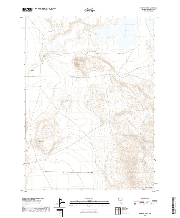
2021 Map of Painted Point
USGS Topo · Published 2021About this map
Painted Point Range dominates this corner of Washoe County, defining a landscape where high desert terrain meets vital water sources. The map centers on the elevation of Painted Point, with the high desert topography falling away into the sweeping expanse of Long Valley to the west. This 2021 survey reveals a network of isolated springs and lake beds that have long dictated movement through this arid region, including Sand Spring, Twin Springs, and the seasonal West Lake.
Find a feature on this map
19 named features on this map. Tap any name to fly to it.
Don’t see what you’re looking for? This feature index may not catch every label — zoom into the map to look around manually.
Map Details
Editions of this 2021 Painted Point Map
This is the sole edition of this map. No revisions or reprints were ever made.
Other maps of this area

1889 · Long Valley
USGS Topo · 1:250,000

1954 · Vya
USGS Topo · 1:250,000

1958 · Vya
USGS Topo · 1:250,000

1962 · Vya
USGS Topo · 1:250,000

1966 · Massacre Lake NW
USGS Topo · 1:24,000

1966 · Vya
USGS Topo · 1:24,000

1966 · Massacre Lake
USGS Topo · 1:24,000

1966 · Alkali Lake
USGS Topo · 1:24,000

1966 · Massacre Creek
USGS Topo · 1:24,000

1966 · Painted Point
USGS Topo · 1:24,000