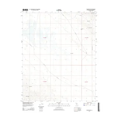
2015 Map of Painted Rock
USGS Topo · Published 2015About this map
Carrizo Plain dominates this California landscape, defined by the stark visibility of the San Andreas Fault as it cuts between the Temblor Range and the Caliente Range. This arid basin in San Luis Obispo County preserves a distinct geological and archaeological record, centered on the landmark Painted Rock and the seasonal waters of Soda Lake. The map reveals a network of unpaved access routes including Soda Lake Rd and Elkhorn Rd, which trace the floor of the Elkhorn Plain and the base of the Panorama Hills. This region represents one of the most intact grassland ecosystems in the state, where township lines like t31s r21e and t32s r20e overlay a terrain shaped more by seismic activity and interior drainage than by human development.
Find a feature on this map
15 named features on this map. Tap any name to fly to it.
Don’t see what you’re looking for? This feature index may not catch every label — zoom into the map to look around manually.
Map Details
Editions of this 2015 Painted Rock Map
This is the sole edition of this map. No revisions or reprints were ever made.
Other maps of this area

1912 · McKittrick
USGS Topo · 1:125,000

1941 · Caliente Mountain
USGS Topo · 1:62,500

1942 · Caliente Mtn
USGS Topo · 1:62,500

1943 · Simmler
USGS Topo · 1:62,500

1943 · Caliente Mtn.
USGS Topo · 1:62,500

1944 · Panorama Hills
USGS Topo · 1:31,680
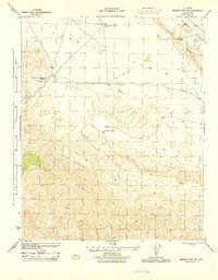
1944 · Midway Peak SW
USGS Topo · 1:31,680

1948 · Bakersfield
USGS Topo · 1:250,000
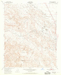
1950 · Reward
USGS Topo · 1:24,000
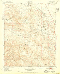
1951 · Reward
USGS Topo · 1:24,000