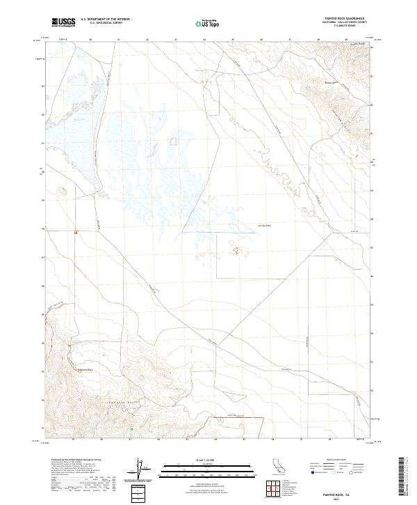
2021 Map of Painted Rock
USGS Topo · Published 2021About this map
Soda Lake dominates the arid basin of the Carrizo Plain, an endorheic drainage system where water evaporates to leave behind a vast alkali crust. This environment is framed by the steep rise of the Temblor Range to the northeast and the Caliente Range to the southwest. The landscape is characterized by its stark geology and tectonic activity, as evidenced by the dramatic alignment of the Panorama Hills and the broader Elkhorn Plain. Cultural and historical markers are concentrated around Painted Rock, a massive monolith that has served as a landmark for generations. Access through this remote terrain is maintained by a network of unimproved routes and named paths, such as Painted Rock Trl and West Well Trl, which connect the scattered well sites and survey points across the valley floor.
Find a feature on this map
19 named features on this map. Tap any name to fly to it.
Don’t see what you’re looking for? This feature index may not catch every label — zoom into the map to look around manually.
Map Details
Editions of this 2021 Painted Rock Map
This is the sole edition of this map. No revisions or reprints were ever made.
Other maps of this area

1912 · McKittrick
USGS Topo · 1:125,000

1941 · Caliente Mountain
USGS Topo · 1:62,500

1942 · Caliente Mtn
USGS Topo · 1:62,500

1943 · Simmler
USGS Topo · 1:62,500

1943 · Caliente Mtn.
USGS Topo · 1:62,500

1944 · Panorama Hills
USGS Topo · 1:31,680
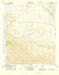
1944 · Midway Peak SW
USGS Topo · 1:31,680

1948 · Bakersfield
USGS Topo · 1:250,000
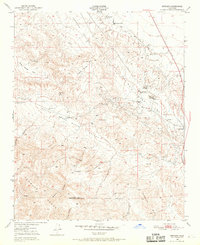
1950 · Reward
USGS Topo · 1:24,000
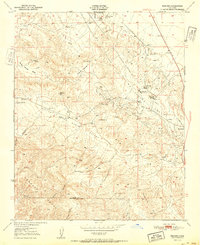
1951 · Reward
USGS Topo · 1:24,000