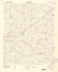
1949 Map of Painter
USGS Topo · Published 1949About this map
Sand Mountain dominates this landscape, where small agricultural communities and rural churches are connected by winding roads and numerous river crossings. In the late 1940s, the area around Painter and Lathamville was characterized by its dispersed settlement pattern, with family and community life centered on landmarks like Gilbreath Chapel, New Canaan Ch, and Bethel Ch. Several river crossings are specifically named, such as Green Ford Bridge, Garvin Bridge, and Kirby Bridge, indicating the importance of these points for travel across Scarham Creek and its tributaries.
Find a feature on this map
79 named features on this map. Tap any name to fly to it.
Don’t see what you’re looking for? This feature index may not catch every label — zoom into the map to look around manually.
Map Details
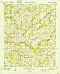
Editions of this 1949 Painter Map
2 editions found
Other maps of this area

1885 · Gadsden
USGS Topo · 1:125,000

1888 · Gadsden
USGS Topo · 1:125,000

1892 · Gadsden
USGS Topo · 1:125,000

1893 · Fort Payne
USGS Topo · 1:125,000

1895 · Gadsden
USGS Topo · 1:125,000

1898 · Fort Payne
USGS Topo · 1:125,000

1900 · Fort Payne
USGS Topo · 1:125,000

1903 · Gadsden
USGS Topo · 1:125,000

1936 · Painter
USGS Topo · 1:24,000

1936 · Crossville
USGS Topo · 1:24,000