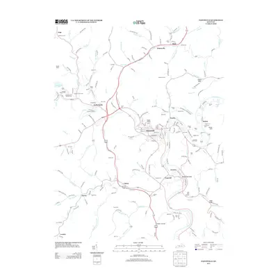
2013 Map of Paintsville
USGS Topo · Published 2013About this map
Paintsville serves as the focal point of this Johnson County landscape, situated where the Paint Cr meets the winding Levisa Fork. The town's layout is characterized by established neighborhoods like Happy Hollow and public spaces such as the Paintsville Golf Course. To the south and west, the terrain rises toward significant landmarks including Rocky Knob and Bettys Knob, while the valley floors are dotted with a dense network of residential and commercial developments reaching toward Staffordsville and West Van Lear.
Find a feature on this map
213 named features on this map. Tap any name to fly to it.
Don’t see what you’re looking for? This feature index may not catch every label — zoom into the map to look around manually.
Map Details
Editions of this 2013 Paintsville Map
This is the sole edition of this map. No revisions or reprints were ever made.
Other maps of this area

1886 · Prestonsburg
USGS Topo · 1:125,000

1892 · Prestonsburg
USGS Topo · 1:125,000

1914 · Laynesville
USGS Topo · 1:48,000

1914 · Inez
USGS Topo · 1:48,000

1915 · Paintsville
USGS Topo · 1:48,000

1915 · Prestonsburg
USGS Topo · 1:62,500

1916 · Harold
USGS Topo · 1:62,500

1916 · Inez
USGS Topo · 1:62,500

1917 · Paintsville
USGS Topo · 1:62,500

1918 · Prestonsburg
USGS Topo · 1:62,500