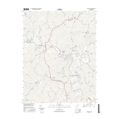
2016 Map of Paintsville
USGS Topo · Published 2016About this map
Paintsville serves as the focal point of this Johnson County region, situated at the confluence of Paint Creek and the Louisa Fork of the Big Sandy River. The landscape is defined by the narrow valleys of Mudlick Cr and Toms Cr, where long-established coal and rail heritage is visible in the transition of old industrial infrastructure. A notable modern conversion is the Dawkins Line Rail Trail, which follows the historic path of the Dawkins Line through Hagerhill and Dawkins. Family history is deeply rooted across these hills, evidenced by numerous small burial grounds such as the Vanhoose Cem, Whippoorwill Cem, and Ratliff Cem. Larger community landmarks include Highland Memorial Park and the Johnson County Memorial Cem. Surrounding settlements like Staffordsville, Thelma, and Wittensville illustrate the dispersed yet interconnected nature of Appalachian valley life during this era.
Find a feature on this map
142 named features on this map. Tap any name to fly to it.
Don’t see what you’re looking for? This feature index may not catch every label — zoom into the map to look around manually.
Map Details
Editions of this 2016 Paintsville Map
This is the sole edition of this map. No revisions or reprints were ever made.
Other maps of this area

1886 · Prestonsburg
USGS Topo · 1:125,000

1892 · Prestonsburg
USGS Topo · 1:125,000

1914 · Laynesville
USGS Topo · 1:48,000

1914 · Inez
USGS Topo · 1:48,000

1915 · Paintsville
USGS Topo · 1:48,000

1915 · Prestonsburg
USGS Topo · 1:62,500

1916 · Harold
USGS Topo · 1:62,500

1916 · Inez
USGS Topo · 1:62,500

1917 · Paintsville
USGS Topo · 1:62,500

1918 · Prestonsburg
USGS Topo · 1:62,500