Loading...
Loading map...2022 Map of Palacios
USGS Topo · Published 2022About this map
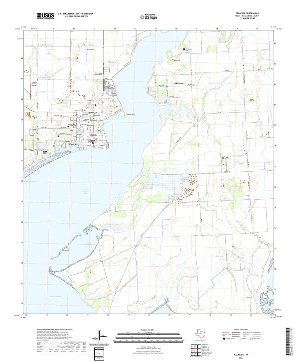
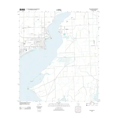
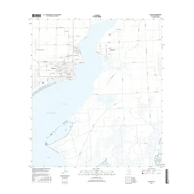
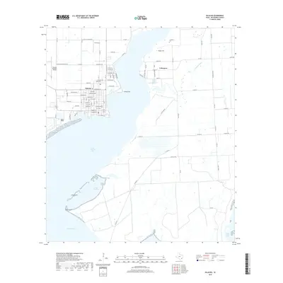
Palacios occupies the western shoreline of Tres Palacios Bay in this contemporary record of Matagorda County's coastal landscape. The town is structured by an orderly grid of streets including Main St and Henderson St, while aviation needs are served by both the Palacios Municipal Airport and the nearby Trull Airport. Across the water to the east, the smaller settlement of Collegeport sits near the head of the bay, flanked by Pepper Hill and the winding Pelican Slough.
Find a feature on this map
89 named features on this map. Tap any name to fly to it.
Don’t see what you’re looking for? This feature index may not catch every label — zoom into the map to look around manually.
Map Details
Date Portrayed2022
Date Published2022
PublisherU.S. Geological Survey
Map TypeTopographic
Scale1:24,000
Physical Dimensions24 x 29 inches
Editions of this 2022 Palacios Map
This is the sole edition of this map. No revisions or reprints were ever made.
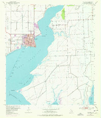
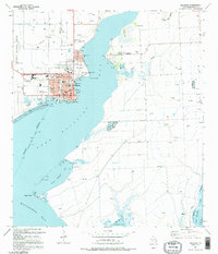
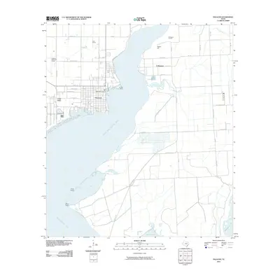
Historical Maps of Palacios Through Time
7 maps found
Featured Locations
Source Details
SourceU.S. Geological Survey
CopyrightPublic Domain