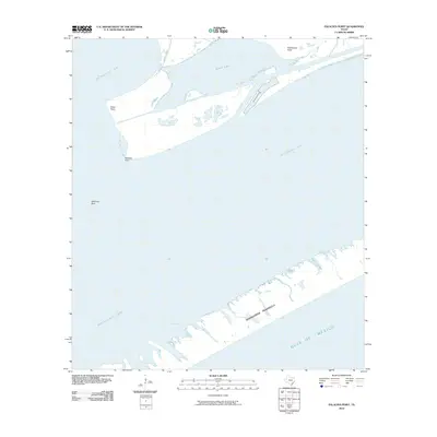
2010 Map of Palacios Point
USGS Topo · Published 2010About this map
Matagorda Peninsula forms a narrow barrier between the open Gulf of Mexico and the calmer waters of Matagorda Bay in this 2010 coastal survey. The map details a landscape defined by shifting sands and saltwater inlets, including the intricate marshy edges of the Spanish Lakes. At the mouth of Oyster Lake, several distinct landmarks serve as nautical or coastal identifiers, such as Rattlesnake Point and Hotel Point. This area is accessed by the singular Oyster Lake Rd, which terminates near the bay. Further south in the bay, the navigation hazard of Halfmoon Reef is noted near Palacios Point, highlighting the maritime focus of this Texas coastal reach.
Find a feature on this map
10 named features on this map. Tap any name to fly to it.
Don’t see what you’re looking for? This feature index may not catch every label — zoom into the map to look around manually.
Map Details
Editions of this 2010 Palacios Point Map
This is the sole edition of this map. No revisions or reprints were ever made.
Other maps of this area

1952 · Palacios SE
USGS Topo · 1:24,000

1952 · Palacios Point
USGS Topo · 1:24,000

1952 · Palacios
USGS Topo · 1:24,000

1952 · Turtle Bay
USGS Topo · 1:24,000

1952 · South of Palacios Point
USGS Topo · 1:24,000

1952 · Palacios NE
USGS Topo · 1:24,000

1952 · Decros Point
USGS Topo · 1:24,000

1953 · Beeville
USGS Topo · 1:250,000

1956 · Beeville
USGS Topo · 1:250,000

1960 · Beeville
USGS Topo · 1:250,000