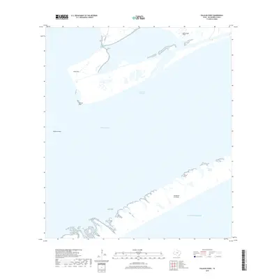
2019 Map of Palacios Point
USGS Topo · Published 2019About this map
Matagorda Peninsula separates the open Gulf of Mexico from the sheltered waters of Matagorda Bay in this 2019 coastal survey. This maritime landscape is defined by the Intracoastal Waterway, which cuts a straight line through the bay, facilitating commercial shipping and navigation behind the protective barrier of the peninsula. To the north, the shore is irregular, marked by prominent landforms such as Hotel Point, Rattlesnake Point, and Palacios Point.
Find a feature on this map
13 named features on this map. Tap any name to fly to it.
Don’t see what you’re looking for? This feature index may not catch every label — zoom into the map to look around manually.
Map Details
Editions of this 2019 Palacios Point Map
This is the sole edition of this map. No revisions or reprints were ever made.
Other maps of this area

1952 · Palacios SE
USGS Topo · 1:24,000

1952 · Palacios Point
USGS Topo · 1:24,000

1952 · Palacios
USGS Topo · 1:24,000

1952 · Turtle Bay
USGS Topo · 1:24,000

1952 · South of Palacios Point
USGS Topo · 1:24,000

1952 · Palacios NE
USGS Topo · 1:24,000

1952 · Decros Point
USGS Topo · 1:24,000

1953 · Beeville
USGS Topo · 1:250,000

1956 · Beeville
USGS Topo · 1:250,000

1960 · Beeville
USGS Topo · 1:250,000