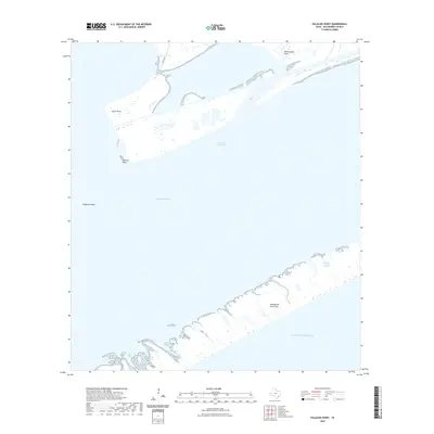
2022 Map of Palacios Point
USGS Topo · Published 2022About this map
Matagorda Bay and the low-lying coastal formations of the Texas Gulf Coast define this maritime landscape. The map highlights the strategic positioning of the Intracoastal Waterway, a vital artery for shipping and commerce that cuts behind the protective barrier of the Matagorda Peninsula. This narrow strip of land serves as a crucial buffer between the bay and the open Gulf of Mexico. Along the shoreline, named landmarks like Palacios Point, Hotel Point, and Rattlesnake Point mark the interface between land and sea.
Find a feature on this map
13 named features on this map. Tap any name to fly to it.
Don’t see what you’re looking for? This feature index may not catch every label — zoom into the map to look around manually.
Map Details
Editions of this 2022 Palacios Point Map
This is the sole edition of this map. No revisions or reprints were ever made.
Other maps of this area

1952 · Palacios SE
USGS Topo · 1:24,000

1952 · Palacios Point
USGS Topo · 1:24,000

1952 · Palacios
USGS Topo · 1:24,000

1952 · Turtle Bay
USGS Topo · 1:24,000

1952 · South of Palacios Point
USGS Topo · 1:24,000

1952 · Palacios NE
USGS Topo · 1:24,000

1952 · Decros Point
USGS Topo · 1:24,000

1953 · Beeville
USGS Topo · 1:250,000

1956 · Beeville
USGS Topo · 1:250,000

1960 · Beeville
USGS Topo · 1:250,000