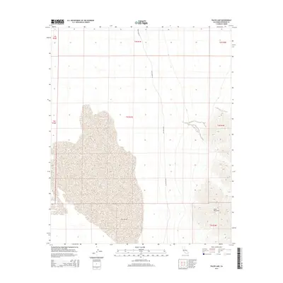
2015 Map of Palen Lake
USGS Topo · Published 2015About this map
Palen Lake dominates the central basin of this arid landscape, appearing as a broad ephemeral playa characteristic of the Colorado Desert. The dry lake bed is bounded to the east by the rising contours of the Palen Mountains, which provide sharp relief against the surrounding flats. Human impact is sparse, defined primarily by the corridor of Palen Dunes Dr tracking through the northern sections of the grid. This 2015 survey illustrates the enduring isolation of this region within Riverside County, preserving the primitive character of the land as it appeared in the early 21st century. The map provides a detailed view of the Public Land Survey System grid, showing the townships and ranges including t4s r17e and t5s r17e that organize this desert expanse.
Find a feature on this map
11 named features on this map. Tap any name to fly to it.
Don’t see what you’re looking for? This feature index may not catch every label — zoom into the map to look around manually.
Map Details
Editions of this 2015 Palen Lake Map
This is the sole edition of this map. No revisions or reprints were ever made.
Other maps of this area

1943 · Coxcomb Mountains
USGS Topo · 1:62,500

1944 · Chuckwalla Mountains
USGS Topo · 1:62,500

1944 · Coxcomb Mountains
USGS Topo · 1:62,500

1952 · Sidewinder Well
USGS Topo · 1:62,500

1952 · Palen Mountains
USGS Topo · 1:62,500

1954 · Salton Sea
USGS Topo · 1:250,000

1955 · Salton Sea
USGS Topo · 1:250,000

1959 · Salton Sea
USGS Topo · 1:250,000

1963 · Salton Sea
USGS Topo · 1:250,000

1963 · Chuckwalla Mountains
USGS Topo · 1:62,500