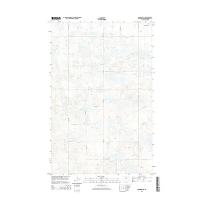
2014 Map of Palermo NE
USGS Topo · Published 2014About this map
Berg Coulee cuts through the northeast corner of this landscape in Mountrail County, characterizing a region defined by its numerous small depressions and prairie potholes. This 2014 survey reveals a strictly organized rural grid system, where section lines are marked by gravel roads such as 74th St NW and 66th Ave NW. The terrain is shaped by glacial activity, resulting in the dense network of un-drained basins typical of the Missouri Coteau. This specific mapping provides a precise record of the land surface and drainage patterns before potential changes in local agricultural or energy development in the Bakken region. Without major settlements or industrial centers, the map documents the quiet, persistent geometry of the High Plains, where human presence is primarily indicated by the intersection of thoroughfares like 71st St NW and 62nd Ave NW.
Find a feature on this map
14 named features on this map. Tap any name to fly to it.
Don’t see what you’re looking for? This feature index may not catch every label — zoom into the map to look around manually.
Map Details
Editions of this 2014 Palermo NE Map
This is the sole edition of this map. No revisions or reprints were ever made.
Other maps of this area

1947 · Tolley
USGS Topo · 1:62,500

1948 · Donnybrook
USGS Topo · 1:24,000

1949 · Mosquito Butte
USGS Topo · 1:24,000

1949 · Coulee
USGS Topo · 1:24,000

1950 · Kenmare
USGS Topo · 1:62,500

1950 · Tolley
USGS Topo · 1:62,500

1953 · Williston
USGS Topo · 1:250,000

1954 · Minot
USGS Topo · 1:250,000

1957 · Williston
USGS Topo · 1:250,000

1958 · Minot
USGS Topo · 1:250,000