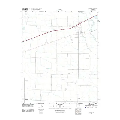
2011 Map of Palestine
USGS Topo · Published 2011About this map
Palestine serves as the primary hub of this eastern Arkansas landscape, where the town's grid meets a network of county roads and drainage systems. The terrain is defined by the winding course of the L'Anguille River to the east and the many branches of Coffee Creek that segment the surrounding agricultural land. To the south, the smaller communities of Gill and New Salem are anchored by a series of local burial grounds and spiritual centers, including the Mars Hill Church and its adjacent Mars Hill Cemetery. The distribution of these landmarks, alongside Union Hill Cemetery and Westley Cemetery, illustrates a pattern of rural settlement where families remained closely tied to local parishes and community nodes. Scattered water features like Cole Lake and Larkin Creek further reveal the low-lying, hydrologically active nature of the St. Francis County bottomlands.
Find a feature on this map
64 named features on this map. Tap any name to fly to it.
Don’t see what you’re looking for? This feature index may not catch every label — zoom into the map to look around manually.
Map Details
Editions of this 2011 Palestine Map
This is the sole edition of this map. No revisions or reprints were ever made.
Other maps of this area

1939 · Wynne
USGS Topo · 1:62,500

1939 · Hunter
USGS Topo · 1:62,500

1940 · Brinkley
USGS Topo · 1:62,500

1940 · Marianna
USGS Topo · 1:62,500

1948 · Helena
USGS Topo · 1:250,000

1950 · Helena
USGS Topo · 1:250,000

1953 · Memphis
USGS Topo · 1:250,000

1955 · Helena
USGS Topo · 1:250,000

1956 · Memphis
USGS Topo · 1:250,000

1956 · Hunter
USGS Topo · 1:62,500