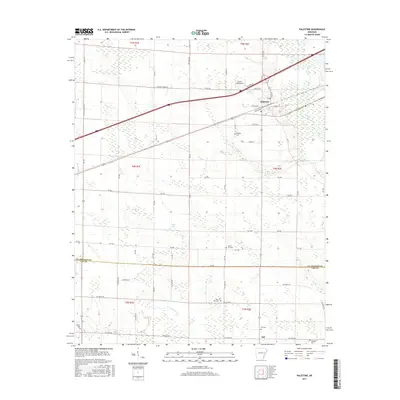
2017 Map of Palestine
USGS Topo · Published 2017About this map
Palestine serves as the primary hub on this eastern Arkansas landscape, where the flat, agricultural Delta terrain is crisscrossed by an extensive network of drainage and transport routes. To the north, the Burns Aerodrome sits near Pine Tree Rd, while the L'Anguille River winds through the eastern portion of the quadrangle. The map captures a significant rural cemetery distribution, including Westley Cem, Union Hill Cem, and Mars Hill Cem, which offer critical touchpoints for family historians and genealogists tracking the residents of St. Francis and Lee counties.
Find a feature on this map
69 named features on this map. Tap any name to fly to it.
Don’t see what you’re looking for? This feature index may not catch every label — zoom into the map to look around manually.
Map Details
Editions of this 2017 Palestine Map
This is the sole edition of this map. No revisions or reprints were ever made.
Other maps of this area

1939 · Wynne
USGS Topo · 1:62,500

1939 · Hunter
USGS Topo · 1:62,500

1940 · Brinkley
USGS Topo · 1:62,500

1940 · Marianna
USGS Topo · 1:62,500

1948 · Helena
USGS Topo · 1:250,000

1950 · Helena
USGS Topo · 1:250,000

1953 · Memphis
USGS Topo · 1:250,000

1955 · Helena
USGS Topo · 1:250,000

1956 · Memphis
USGS Topo · 1:250,000

1956 · Hunter
USGS Topo · 1:62,500