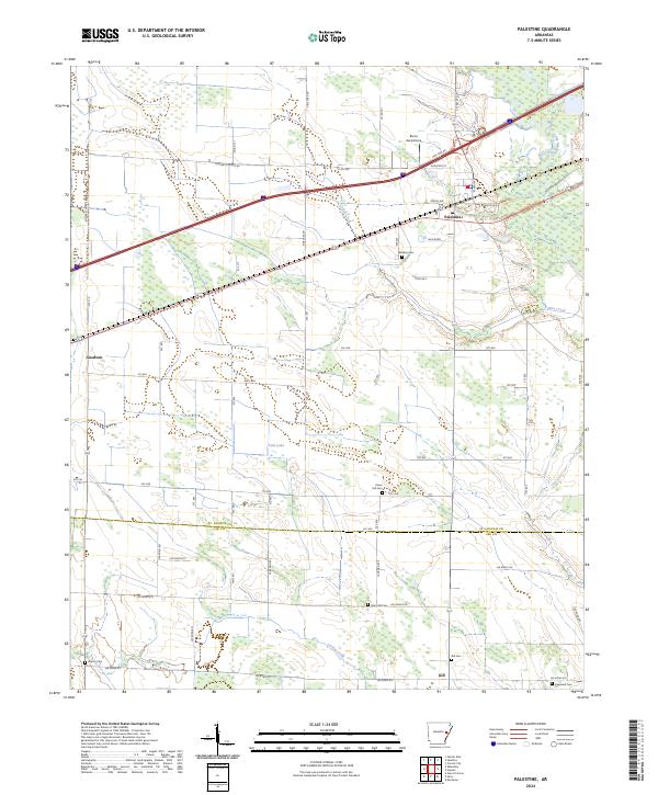
2024 Map of Palestine
USGS Topo · Published 2024About this map
Palestine serves as the primary hub of this East Arkansas landscape, situated along a busy transportation corridor where Interstate 40 and local routes like Hudspeth St intersect. The terrain is defined by its drainage patterns and agricultural layout, with the L'Anguille River cutting through the northeast and Coffee Creek and Larkin Creek winding through the lowlands. The survey reveals a significant density of small family and community burial grounds, including Westley Cem, Mars Hill Cem, and Hopewell Cem, which offer essential data points for genealogical research in this rural portion of St. Francis and Lee counties.
Find a feature on this map
70 named features on this map. Tap any name to fly to it.
Don’t see what you’re looking for? This feature index may not catch every label — zoom into the map to look around manually.
Map Details
Editions of this 2024 Palestine Map
This is the sole edition of this map. No revisions or reprints were ever made.
Other maps of this area

1939 · Wynne
USGS Topo · 1:62,500

1939 · Hunter
USGS Topo · 1:62,500

1940 · Brinkley
USGS Topo · 1:62,500

1940 · Marianna
USGS Topo · 1:62,500

1948 · Helena
USGS Topo · 1:250,000

1950 · Helena
USGS Topo · 1:250,000

1953 · Memphis
USGS Topo · 1:250,000

1955 · Helena
USGS Topo · 1:250,000

1956 · Memphis
USGS Topo · 1:250,000

1956 · Hunter
USGS Topo · 1:62,500