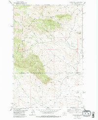
1979 Map of Palisade Butte
USGS Topo · Published 1979About this map
The Highwood Mountains dominate this landscape within the Lewis and Clark National Forest, where steep drainages and prominent volcanic peaks define the terrain on the border of Chouteau and Judith Basin counties. High points like Mount Kennon and East Peak rise above a complex network of seasonal streams, including Shonkin Creek and the multiple branches of Cottonwood Creek. The geography here reflects a transition from high timbered slopes to the lower benches and coulees that characterize the Montana mountain front.
Find a feature on this map
29 named features on this map. Tap any name to fly to it.
Don’t see what you’re looking for? This feature index may not catch every label — zoom into the map to look around manually.
Map Details
Editions of this 1979 Palisade Butte Map
2 editions found
Other maps of this area

1890 · Fort Benton
USGS Topo · 1:250,000

1892 · Fort Benton
USGS Topo · 1:250,000

1897 · Fort Benton
USGS Topo · 1:250,000

1954 · Great Falls
USGS Topo · 1:250,000

1957 · Great Falls
USGS Topo · 1:250,000

1978 · Arrow Peak
USGS Topo · 1:24,000

1978 · Leiberg Coulee
USGS Topo · 1:24,000
1978 · Byrne Creek
USGS Topo · 1:24,000
1978 · Geraldine
USGS Topo · 1:24,000
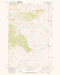
1979 · Palisade Butte
USGS Topo · 1:24,000