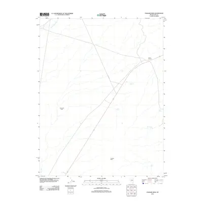
2012 Map of Palisade Mesa
USGS Topo · Published 2012About this map
Palisade Mesa rises above the arid landscape of Nye County, overlooking the expansive Hot Creek Valley. The terrain is defined by a critical network of water sources, including Rattlesnake Springs, Iceberg Spring, and Mesa Spring, which provide essential moisture in an otherwise parched environment. These springs and the presence of Moores Station Wash suggest a landscape where water has long dictated the movement of people and livestock.
Find a feature on this map
11 named features on this map. Tap any name to fly to it.
Don’t see what you’re looking for? This feature index may not catch every label — zoom into the map to look around manually.
Map Details
Editions of this 2012 Palisade Mesa Map
This is the sole edition of this map. No revisions or reprints were ever made.
Other maps of this area

1956 · Tonopah
USGS Topo · 1:250,000

1959 · Tonopah
USGS Topo · 1:250,000

1962 · Tonopah
USGS Topo · 1:250,000

1967 · Lunar Crater
USGS Topo · 1:62,500

1967 · Moores Station
USGS Topo · 1:62,500

1967 · Blue Jay Spring
USGS Topo · 1:24,000

1967 · Moores Station SE
USGS Topo · 1:24,000

1967 · Buckwheat Rim
USGS Topo · 1:24,000

1967 · Palisade Mesa
USGS Topo · 1:24,000

1967 · Lunar Crater
USGS Topo · 1:24,000