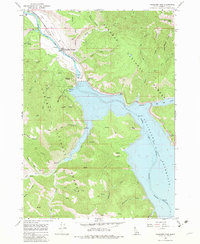
1966 Map of Palisades Dam
USGS Topo · Published 1983About this map
Palisades Dam stands as the engineering centerpiece of this mid-1960s landscape, holding back the massive Palisades Reservoir where the Snake River winds through the canyon. The map documents a critical infrastructure node, detailing the powerplant, substation, and the nearby Palisades Townsite. This area serves as a significant boundary between two major federal tracts, the Targhee National Forest and the Caribou National Forest, illustrating the intersection of industrial water management and wilderness preservation.
Find a feature on this map
47 named features on this map. Tap any name to fly to it.
Don’t see what you’re looking for? This feature index may not catch every label — zoom into the map to look around manually.
Map Details
Editions of this 1966 Palisades Dam Map
3 editions found
Other maps of this area

1932 · Irwin
USGS Topo · 1:96,000

1935 · Irwin
USGS Topo · 1:125,000

1955 · Driggs
USGS Topo · 1:250,000

1958 · Driggs
USGS Topo · 1:250,000

1962 · Driggs
USGS Topo · 1:250,000
1966 · Palisades Peak
USGS Topo · 1:24,000
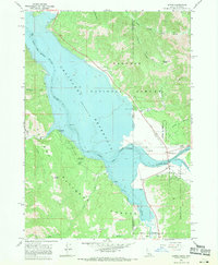
1966 · Alpine
USGS Topo · 1:24,000

1966 · Big Elk Mtn
USGS Topo · 1:24,000
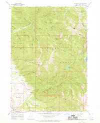
1966 · Thompson Peak
USGS Topo · 1:24,000
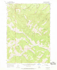
1966 · Red Ridge
USGS Topo · 1:24,000