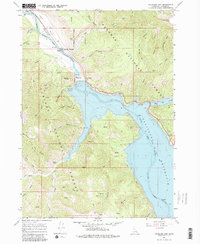
1966 Map of Palisades Dam
USGS Topo · Published 1983About this map
Palisades Dam stands as the central engineering feat on this mid-1960s landscape, holding back the waters of the Snake River to form the expansive Palisades Reservoir. The map documents a critical period of infrastructure and recreation, showing the Powerplant, Substation, and several newly established Boat Ramp facilities along the shoreline. Settlement is concentrated at Irwin in the northwest and the Palisades Townsite just below the dam. The surrounding terrain is split between the Targhee National Forest and Caribou National Forest, where steep drainages like Sawmill Canyon and Elbow Canyon cut through the high ridges. This survey is particularly notable for including underwater contours provided by the U.S. Bureau of Reclamation, detailing the submerged topography of the river valley as it was transformed by the reservoir's rise.
Find a feature on this map
46 named features on this map. Tap any name to fly to it.
Don’t see what you’re looking for? This feature index may not catch every label — zoom into the map to look around manually.
Map Details
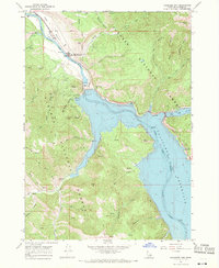
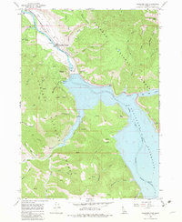
Editions of this 1966 Palisades Dam Map
3 editions found
Other maps of this area

1932 · Irwin
USGS Topo · 1:96,000

1935 · Irwin
USGS Topo · 1:125,000

1955 · Driggs
USGS Topo · 1:250,000

1958 · Driggs
USGS Topo · 1:250,000

1962 · Driggs
USGS Topo · 1:250,000
1966 · Palisades Peak
USGS Topo · 1:24,000
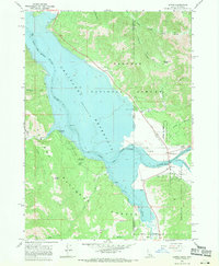
1966 · Alpine
USGS Topo · 1:24,000

1966 · Big Elk Mtn
USGS Topo · 1:24,000
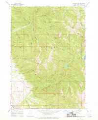
1966 · Thompson Peak
USGS Topo · 1:24,000
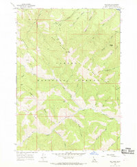
1966 · Red Ridge
USGS Topo · 1:24,000