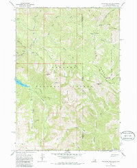
1966 Map of Palisades Peak
USGS Topo · Published 1986About this map
Targhee National Forest and Teton National Forest dominate this mid-1960s survey, capturing a high-elevation landscape defined by the intersection of Bonneville and Teton counties along the Idaho-Wyoming border. The drainage network is anchored by North Fork Palisades Creek, which feeds into the prominent Upper Palisades Lake. The survey highlights a series of dramatic landmarks, including Palisades Peak and Starvation Peak, which rise above a network of deep drainages such as Ice Cave Canyon and Dead Man Canyon.
Find a feature on this map
29 named features on this map. Tap any name to fly to it.
Don’t see what you’re looking for? This feature index may not catch every label — zoom into the map to look around manually.
Map Details
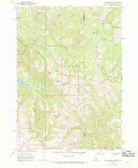
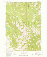
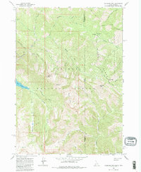
Editions of this 1966 Palisades Peak Map
4 editions found
Other maps of this area

1899 · Grand Teton
USGS Topo · 1:125,000

1901 · Grand Teton
USGS Topo · 1:125,000

1931 · Jackson
USGS Topo · 1:125,000

1932 · Irwin
USGS Topo · 1:96,000

1935 · Irwin
USGS Topo · 1:125,000

1935 · Jackson
USGS Topo · 1:125,000

1943 · Driggs
USGS Topo · 1:62,500

1946 · Driggs
USGS Topo · 1:62,500

1955 · Driggs
USGS Topo · 1:250,000

1958 · Driggs
USGS Topo · 1:250,000