
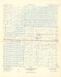
1949 Map of Palm Beach Farms
USGS Topo · Published 1949About this map
Loxahatchee Slough dominates the northern expanse of this Florida landscape, showcasing the intricate drainage patterns and wetlands as they appeared in the late 1940s. The southern portion reveals a transition toward organized agriculture and early suburban development within Palm Beach Farms, where the West Palm Beach Canal serves as a critical artery for water management. A prominent Levee runs along the canal, marking the boundary of human engineering against the natural slough.
Find a feature on this map
13 named features on this map. Tap any name to fly to it.
Don’t see what you’re looking for? This feature index may not catch every label — zoom into the map to look around manually.
Map Details
Editions of this 1949 Palm Beach Farms Map
2 editions found
Other maps of this area

1945 · Delta
USGS Topo · 1:24,000

1945 · Greenacres City
USGS Topo · 1:24,000

1945 · Lake Worth
USGS Topo · 1:24,000

1946 · Riviera Beach
USGS Topo · 1:24,000

1946 · Palm Beach Farms
USGS Topo · 1:24,000

1946 · Palm Beach
USGS Topo · 1:24,000

1949 · Lake Worth
USGS Topo · 1:24,000

1949 · Riviera Beach
USGS Topo · 1:24,000

1950 · Greenacres City
USGS Topo · 1:24,000

1950 · Delta
USGS Topo · 1:24,000