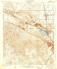
1937 Map of Palmdale
USGS Topo · Published 1937About this map
Antelope Valley geography is defined here by the stark tectonic line of the San Andreas Rift Valley, which separates the northern flats from the complex elevations of the Sierra Pelona. This 1930s survey captures the settlement of Palmdale at a critical juncture, where the Southern Pacific railroad and the Sierra Highway converge. The importance of water infrastructure in this arid landscape is evident in the prominent Palmdale Reservoir, fed by the Aqueduct, and the presence of smaller landmarks like Una Lake and scattered ranch sites.
Find a feature on this map
30 named features on this map. Tap any name to fly to it.
Don’t see what you’re looking for? This feature index may not catch every label — zoom into the map to look around manually.
Map Details
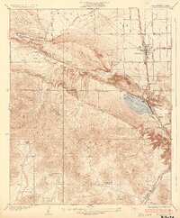
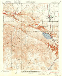
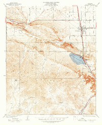
Editions of this 1937 Palmdale Map
4 editions found
Other maps of this area

1900 · Tujunga
USGS Topo · 1:62,500

1901 · Southern California Sheet No. 1
USGS Topo · 1:250,000

1904 · Southern California Sheet No. 1
USGS Topo · 1:250,000

1915 · Elizabeth Lake
USGS Topo · 1:125,000

1917 · Elizabeth Lake
USGS Topo · 1:125,000

1930 · Ravenna
USGS Topo · 1:24,000

1930 · Lancaster
USGS Topo · 1:24,000

1930 · Pearland
USGS Topo · 1:24,000

1930 · Tierra Bonita
USGS Topo · 1:24,000

1931 · Del Sur
USGS Topo · 1:24,000