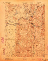
1893 Map of Palmer
USGS Topo · Published 1903About this map
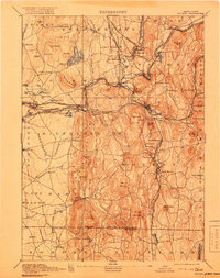
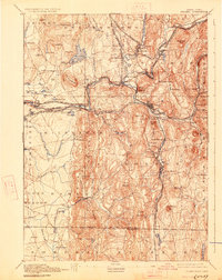
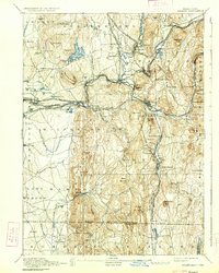
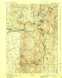
Industrial villages and rail junctions define the landscape of south-central Massachusetts at the close of the nineteenth century. The confluence of the Ware River, Swift River, and Chicopee River created a natural hub for manufacturing, most visible at the junction of Three Rivers and the mill sites at Thorndike and Bonds. The Boston and Albany Railroad and the New London Northern Railroad intersect at the village of Palmer, which serves as the primary regional anchor. To the south, the economy shifts toward extraction and agriculture, marked by the Granite Quarry in Monson and the scattered farmsteads of Hampden and Wilbraham. Notable institutional landmarks include the State Alms House near Palmer, while the presence of the Springfield Reservoir and several ponds like Nine Mile Pond highlight the early engineering of regional water resources.
Find a feature on this map
118 named features on this map. Tap any name to fly to it.
Don’t see what you’re looking for? This feature index may not catch every label — zoom into the map to look around manually.
Map Details
Editions of this 1893 Palmer Map
9 editions found

Other maps of this area

1885 · Northampton
USGS Topo · 1:62,500

1886 · Springfield
USGS Topo · 1:62,500

1886 · Northampton
USGS Topo · 1:62,500

1887 · Brookfield
USGS Topo · 1:62,500

1887 · Palmer
USGS Topo · 1:62,500

1887 · Belchertown
USGS Topo · 1:62,500

1887 · Barre
USGS Topo · 1:62,500

1889 · Springfield
USGS Topo · 1:62,500

1889 · Palmer
USGS Topo · 1:62,500

1889 · Barre
USGS Topo · 1:62,500