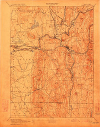
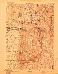
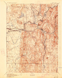
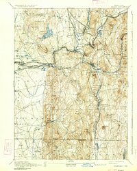
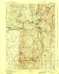
1893 Map of Palmer
USGS Topo · Published 1912About this map
The Chicopee River and its major tributaries, including the Swift River and Ware River, drive the industrial and rail development of this late 19th-century landscape. The Boston and Albany Railroad and the Central Vermont Railroad converge at strategic points like Three Rivers and Palmer, which serve as busy junctions for trade and transportation. Smaller mill villages and depots, such as Ellis Mills, Collins Depot, and Thorndike, are scattered along the watercourses, highlighting the era's reliance on hydro-power and rail access.
Find a feature on this map
117 named features on this map. Tap any name to fly to it.
Don’t see what you’re looking for? This feature index may not catch every label — zoom into the map to look around manually.
Map Details
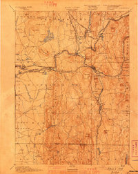
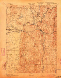
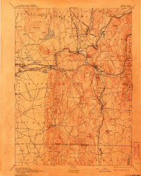
Editions of this 1893 Palmer Map
9 editions found

Other maps of this area

1885 · Northampton
USGS Topo · 1:62,500

1886 · Springfield
USGS Topo · 1:62,500

1886 · Northampton
USGS Topo · 1:62,500

1887 · Brookfield
USGS Topo · 1:62,500

1887 · Palmer
USGS Topo · 1:62,500

1887 · Belchertown
USGS Topo · 1:62,500

1887 · Barre
USGS Topo · 1:62,500

1889 · Springfield
USGS Topo · 1:62,500

1889 · Palmer
USGS Topo · 1:62,500

1889 · Barre
USGS Topo · 1:62,500