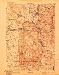
1893 Map of Palmer
USGS Topo · Published 1918About this map
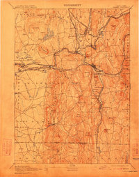
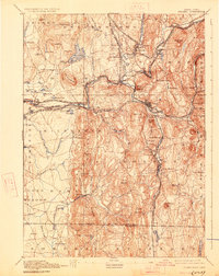
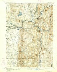
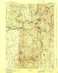
Palmer and its surrounding mill towns define this landscape at the confluence of the Ware River, Swift River, and Chicopee River. This late 19th-century survey illustrates an era when heavy rail dominated transport, featuring the Central Vermont Railroad and the Boston and Albany Railroad intersecting at critical hubs. Industry and public infrastructure are clearly marked, from the Granite Quarry near Monson to the State Alms House and Blodgett Mill.
Find a feature on this map
115 named features on this map. Tap any name to fly to it.
Don’t see what you’re looking for? This feature index may not catch every label — zoom into the map to look around manually.
Map Details
Editions of this 1893 Palmer Map
9 editions found

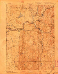
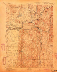
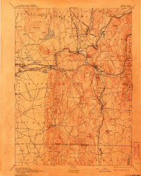
Other maps of this area

1885 · Northampton
USGS Topo · 1:62,500

1886 · Springfield
USGS Topo · 1:62,500

1886 · Northampton
USGS Topo · 1:62,500

1887 · Brookfield
USGS Topo · 1:62,500

1887 · Palmer
USGS Topo · 1:62,500

1887 · Belchertown
USGS Topo · 1:62,500

1887 · Barre
USGS Topo · 1:62,500

1889 · Springfield
USGS Topo · 1:62,500

1889 · Palmer
USGS Topo · 1:62,500

1889 · Barre
USGS Topo · 1:62,500