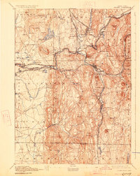
1893 Map of Palmer
USGS Topo · Published 1927About this map
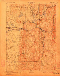
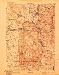
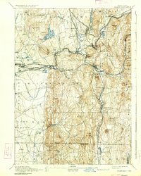
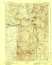
The Chicopee River and its major tributaries, the Swift River and Ware River, define the industrial and transit character of this late 19th-century landscape. The map reveals a dense network of rail-dependent manufacturing villages and transit hubs, most notably Palmer, Three Rivers, and Thorndike. Heavy industry is evidenced by the Granite Quarry near North Monson, while social infrastructure of the era is represented by the State Alms House located near the riverbanks. The topography is dominated by prominent ridges such as Minechoag Mountain and Peaked Mountain, which hem in the narrow valleys where the New London Northern Railroad and Boston and Albany Railroad converge. Significant water management for nearby urban growth is seen in the Springfield Reservoir, positioned among the Facing Hills in Belchertown.
Find a feature on this map
113 named features on this map. Tap any name to fly to it.
Don’t see what you’re looking for? This feature index may not catch every label — zoom into the map to look around manually.
Map Details
Editions of this 1893 Palmer Map
9 editions found

Other maps of this area

1885 · Northampton
USGS Topo · 1:62,500

1886 · Springfield
USGS Topo · 1:62,500

1886 · Northampton
USGS Topo · 1:62,500

1887 · Brookfield
USGS Topo · 1:62,500

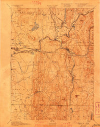
1887 · Palmer
USGS Topo · 1:62,500

1887 · Belchertown
USGS Topo · 1:62,500

1887 · Barre
USGS Topo · 1:62,500

1889 · Springfield
USGS Topo · 1:62,500

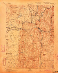
1889 · Palmer
USGS Topo · 1:62,500

1889 · Barre
USGS Topo · 1:62,500