
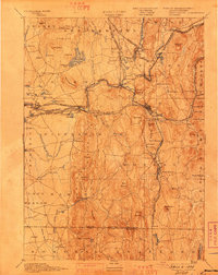
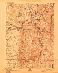
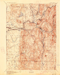
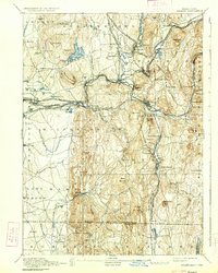
1893 Map of Palmer
USGS Topo · Published 1941About this map
Industrial manufacturing and rail transport define this late 19th-century landscape along the Chicopee River. The confluence of several major lines, including the Boston and Albany Railroad and the Central Vermont Railroad, created thriving junctions at Three Rivers and Palmer. Local industry is anchored by the Chicopee Mfg works and the extensive Granite Quarry near Monson.
Find a feature on this map
112 named features on this map. Tap any name to fly to it.
Don’t see what you’re looking for? This feature index may not catch every label — zoom into the map to look around manually.
Map Details
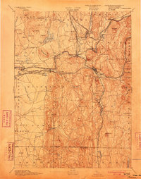
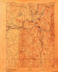
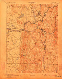
Editions of this 1893 Palmer Map
9 editions found

Other maps of this area

1885 · Northampton
USGS Topo · 1:62,500

1886 · Springfield
USGS Topo · 1:62,500

1886 · Northampton
USGS Topo · 1:62,500

1887 · Brookfield
USGS Topo · 1:62,500

1887 · Palmer
USGS Topo · 1:62,500

1887 · Belchertown
USGS Topo · 1:62,500

1887 · Barre
USGS Topo · 1:62,500

1889 · Springfield
USGS Topo · 1:62,500

1889 · Palmer
USGS Topo · 1:62,500

1889 · Barre
USGS Topo · 1:62,500