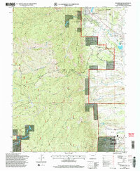
1994 Map of Palmer Lake
USGS Topo · Published 1998About this map
Palmer Lake and the neighboring settlement of Monument anchor this mid-1990s revision, which illustrates the intersection of military training grounds and public forest lands. The southeastern corner is dominated by the U. S. Air Force Academy, showing the campus layout with Cadet Drive, a Chapel, and the Planetarium. This structured military environment contrasts sharply with the western half of the map, occupied by the Pike National Forest.
Find a feature on this map
46 named features on this map. Tap any name to fly to it.
Don’t see what you’re looking for? This feature index may not catch every label — zoom into the map to look around manually.
Map Details
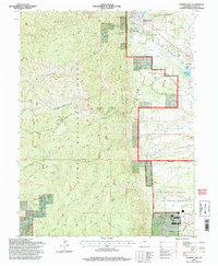
Editions of this 1994 Palmer Lake Map
2 editions found
Other maps of this area

1893 · Platte Canyon
USGS Topo · 1:125,000

1893 · Colorado Springs
USGS Topo · 1:125,000

1894 · Pikes Peak
USGS Topo · 1:125,000

1894 · Castle Rock
USGS Topo · 1:125,000

1901 · Pikes Peak
USGS Topo · 1:125,000

1901 · Pikes Peak
USGS Topo · 1:62,500

1909 · Colorado Springs
USGS Topo · 1:125,000

1913 · Castle Rock
USGS Topo · 1:125,000

1942 · Colorado Springs
USGS Topo · 1:125,000

1948 · Colorado Springs
USGS Topo · 1:62,500