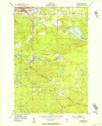
1952 Map of Palmer
USGS Topo · Published 1954About this map
Iron ore extraction dominates the landscape of Marquette County in this early 1950s survey, where industrial workings intersect with the natural topography of the Kona Hills and Wewe Hills. The city of Negaunee serves as a northern anchor, characterized by extensive mining infrastructure including the Athens Mine, Tracy Mine, and a large Mine Dump. To the south, the settlement of Palmer is surrounded by several operations such as the New Volunteer Mine and the Old Richmond Mine, illustrating the high concentration of mineral wealth being tapped during this era of post-war industrial demand.
Find a feature on this map
33 named features on this map. Tap any name to fly to it.
Don’t see what you’re looking for? This feature index may not catch every label — zoom into the map to look around manually.
Map Details
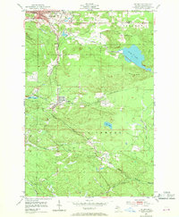
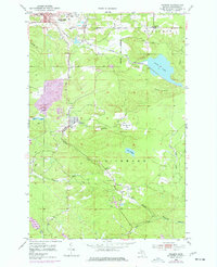
Editions of this 1952 Palmer Map
4 editions found
Other maps of this area

1907 · Marquette
USGS Topo · 1:62,500

1932 · Harvey NW
USGS Topo · 1:31,680

1932 · Harvey SW
USGS Topo · 1:31,680

1952 · Sands
USGS Topo · 1:24,000

1952 · Ishpeming
USGS Topo · 1:62,500

1952 · Ishpeming
USGS Topo · 1:24,000

1952 · Gwinn
USGS Topo · 1:62,500

1952 · Palmer
USGS Topo · 1:24,000

1952 · Gwinn
USGS Topo · 1:24,000

1953 · Negaunee
USGS Topo · 1:24,000