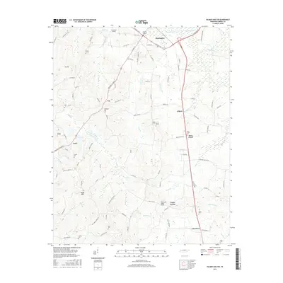
2016 Map of Palmer Shelter
USGS Topo · Published 2016About this map
Huntingdon serves as the northern anchor for this Tennessee landscape, where the town's southern reaches meet the Huntingdon Airport and Ernest Vickers Lake. The terrain is defined by the Tennessee Valley Divide, which separates the diverse drainage basins of the area, including the waters of Beaver Cr and Reedy Cr. This 2016 survey illustrates a rural community structured around small settlements and family-named landmarks.
Find a feature on this map
100 named features on this map. Tap any name to fly to it.
Don’t see what you’re looking for? This feature index may not catch every label — zoom into the map to look around manually.
Map Details
Editions of this 2016 Palmer Shelter Map
This is the sole edition of this map. No revisions or reprints were ever made.
Other maps of this area

1936 · Clarksburg
USGS Topo · 1:24,000

1936 · Yuma
USGS Topo · 1:24,000

1936 · Vale
USGS Topo · 1:24,000

1936 · Center Ridge
USGS Topo · 1:24,000

1936 · Buena Vista
USGS Topo · 1:24,000

1950 · Yuma
USGS Topo · 1:24,000

1950 · Palmer Shelter
USGS Topo · 1:24,000

1950 · Vale
USGS Topo · 1:24,000
1950 · Buena Vista
USGS Topo · 1:24,000

1950 · Clarksburg
USGS Topo · 1:24,000