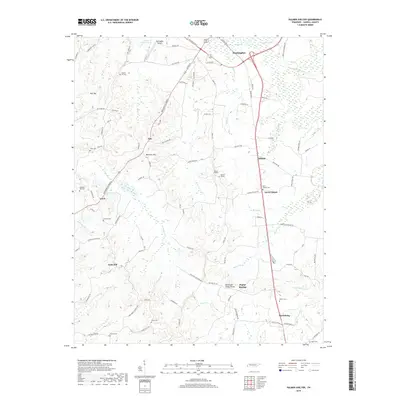
2019 Map of Palmer Shelter
USGS Topo · Published 2019About this map
Huntingdon Airport serves as a northern anchor for this Carroll County landscape, which transitions from the infrastructure of Huntingdon into a complex network of creeks and ridges. The topography is defined by the Tennessee Valley Divide, where the waters of Brier Cr and Reedy Cr carve through the terrain near Marshall Hill and Dollar Hill. Small, dispersed settlements like Tate, Leach, and Clarksburg are connected by the historic Broadway of America, reflecting an era of mid-century transit alongside older agricultural roads. Family history is well-represented through numerous burial sites, including Liberty Hill Cem, Antioch Cem, and Sellers Cem, which are scattered throughout the hills. The presence of Ernest Vickers Lake and the eponymous Palmer Shelter further distinguish this rural corridor south of the Obion River headwaters.
Find a feature on this map
99 named features on this map. Tap any name to fly to it.
Don’t see what you’re looking for? This feature index may not catch every label — zoom into the map to look around manually.
Map Details
Editions of this 2019 Palmer Shelter Map
This is the sole edition of this map. No revisions or reprints were ever made.
Other maps of this area

1936 · Clarksburg
USGS Topo · 1:24,000

1936 · Yuma
USGS Topo · 1:24,000

1936 · Vale
USGS Topo · 1:24,000

1936 · Center Ridge
USGS Topo · 1:24,000

1936 · Buena Vista
USGS Topo · 1:24,000

1950 · Yuma
USGS Topo · 1:24,000

1950 · Palmer Shelter
USGS Topo · 1:24,000

1950 · Vale
USGS Topo · 1:24,000
1950 · Buena Vista
USGS Topo · 1:24,000

1950 · Clarksburg
USGS Topo · 1:24,000