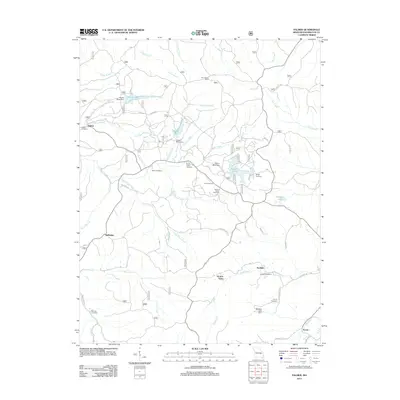
2011 Map of Palmer
USGS Topo · Published 2011About this map
The mining history of Washington County is etched into the landscape surrounding Palmer. This 2011 survey reveals an area defined by historical industry, evidenced by the Parole Mine Dam, Howell Mine Dam, and Palmer Mine Dam that once supported local extraction efforts. Small clusters of rural settlement persist at Horton Town, Sunlight, and Delbridge, while the Tiff Lookout Tower stands as a prominent landmark overlooking the forested drainage of Hazel Creek and Clear Creek.
Find a feature on this map
55 named features on this map. Tap any name to fly to it.
Don’t see what you’re looking for? This feature index may not catch every label — zoom into the map to look around manually.
Map Details
Editions of this 2011 Palmer Map
This is the sole edition of this map. No revisions or reprints were ever made.
Other maps of this area

1906 · Potosi
USGS Topo · 1:62,500

1924 · Edgehill
USGS Topo · 1:62,500

1926 · Edgehill
USGS Topo · 1:62,500

1943 · Berryman
USGS Topo · 1:62,500

1943 · Boss
USGS Topo · 1:62,500

1945 · Berryman
USGS Topo · 1:62,500

1946 · Boss
USGS Topo · 1:62,500

1949 · Rolla
USGS Topo · 1:250,000

1953 · Rolla
USGS Topo · 1:250,000

1954 · Rolla
USGS Topo · 1:250,000