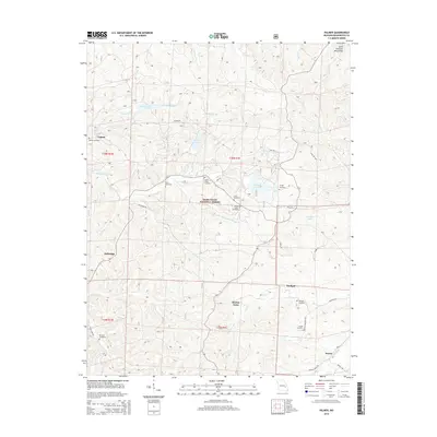
2015 Map of Palmer
USGS Topo · Published 2015About this map
The Saint Francois Mountains define the high ground of this landscape, situated within the protected boundaries of the Mark Twain National Forest. The map documents a cluster of small settlements including Palmer, Sunlight, Delbridge, and Horton Town, many of which are linked by historic routes like Palmer Rd and Top Ozark Rd. A dense concentration of burial sites, such as the Jenkins Family Cemetery, Sitton Cemetery, and McClain Cemetery, offers significant detail for genealogists tracing local families across Washington County.
Find a feature on this map
53 named features on this map. Tap any name to fly to it.
Don’t see what you’re looking for? This feature index may not catch every label — zoom into the map to look around manually.
Map Details
Editions of this 2015 Palmer Map
This is the sole edition of this map. No revisions or reprints were ever made.
Other maps of this area

1906 · Potosi
USGS Topo · 1:62,500

1924 · Edgehill
USGS Topo · 1:62,500

1926 · Edgehill
USGS Topo · 1:62,500

1943 · Berryman
USGS Topo · 1:62,500

1943 · Boss
USGS Topo · 1:62,500

1945 · Berryman
USGS Topo · 1:62,500

1946 · Boss
USGS Topo · 1:62,500

1949 · Rolla
USGS Topo · 1:250,000

1953 · Rolla
USGS Topo · 1:250,000

1954 · Rolla
USGS Topo · 1:250,000