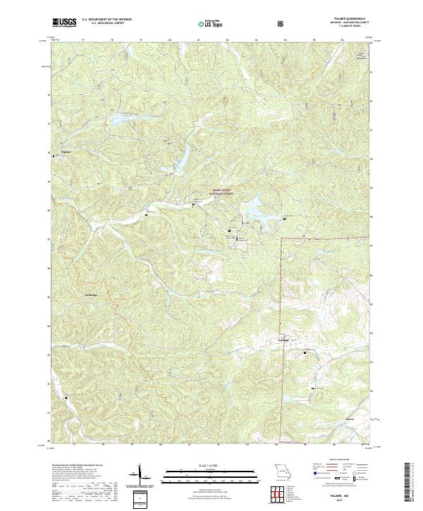
2021 Map of Palmer
USGS Topo · Published 2021About this map
Mark Twain National Forest dominates this section of Washington County, where the topography of the Saint Francois Mountains is etched with numerous creek branches and family burial grounds. The area is characterized by small, dispersed settlements like Palmer, Sunlight, and Peoria, each serving as a focal point for the surrounding rural homesteads. History is deeply rooted in the landscape at sites like the Old Tiff Mill, referencing the region's mineral heritage.
Find a feature on this map
57 named features on this map. Tap any name to fly to it.
Don’t see what you’re looking for? This feature index may not catch every label — zoom into the map to look around manually.
Map Details
Editions of this 2021 Palmer Map
This is the sole edition of this map. No revisions or reprints were ever made.
Other maps of this area

1906 · Potosi
USGS Topo · 1:62,500

1924 · Edgehill
USGS Topo · 1:62,500

1926 · Edgehill
USGS Topo · 1:62,500

1943 · Berryman
USGS Topo · 1:62,500

1943 · Boss
USGS Topo · 1:62,500

1945 · Berryman
USGS Topo · 1:62,500

1946 · Boss
USGS Topo · 1:62,500

1949 · Rolla
USGS Topo · 1:250,000

1953 · Rolla
USGS Topo · 1:250,000

1954 · Rolla
USGS Topo · 1:250,000