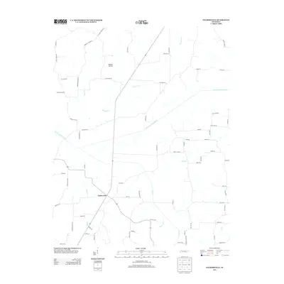
2013 Map of Palmersville
USGS Topo · Published 2013About this map
The North Fork Obion River snakes through this rural Weakley County landscape, defining the local drainage patterns as it is joined by numerous tributaries including Hurricane Cr, Cane Cr, and Mayo Br. The settlement of Palmersville serves as the central hub for a network of roads that hint at the area's agricultural and social history, with routes such as Glover Store Rd and Hayes Store Rd suggesting former centers of local commerce. Genealogists will find interest in the documented access to local burial sites via Mcguire Cemetery Rd and Workman Cemetery Rd in the northern portion of the quadrangle. The terrain is marked by specific low-lying features like Bumpas Bottom, while the engineering of the landscape is evident in named structures such as Donoho Levee Rd and Powell Levee Rd, which parallel the river's path.
Find a feature on this map
69 named features on this map. Tap any name to fly to it.
Don’t see what you’re looking for? This feature index may not catch every label — zoom into the map to look around manually.
Map Details
Editions of this 2013 Palmersville Map
This is the sole edition of this map. No revisions or reprints were ever made.
Other maps of this area

1936 · Crossland
USGS Topo · 1:24,000

1936 · Lynn Grove
USGS Topo · 1:24,000

1950 · Osage
USGS Topo · 1:24,000

1950 · Cottage Grove
USGS Topo · 1:24,000
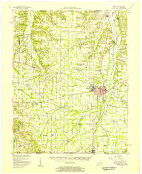
1951 · Murray
USGS Topo · 1:62,500
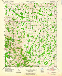
1951 · Lynn Grove
USGS Topo · 1:24,000

1952 · Dresden
USGS Topo · 1:24,000

1952 · Cuba
USGS Topo · 1:24,000

1952 · Mayfield
USGS Topo · 1:62,500
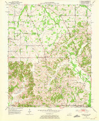
1952 · Lynnville
USGS Topo · 1:24,000