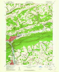
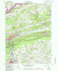
1960 Map of Palmerton
USGS Topo · Published 1961About this map
Palmerton serves as the industrial and social anchor of this 1960 landscape, situated at the base of Blue Mountain where the Lehigh River carves through the Lehigh Gap. The town's grid is dense with landmarks like the Franklin Sch and Bethany Tabernacle, reflecting a mid-century community built around the heavy transit of the Central Railroad of New Jersey and the Lehigh Valley Railroad. Outside the borough, the rural economy is clearly visible through a network of quarries and the Chestnut Mine along Chestnut Ridge.
Find a feature on this map
71 named features on this map. Tap any name to fly to it.
Don’t see what you’re looking for? This feature index may not catch every label — zoom into the map to look around manually.
Map Details
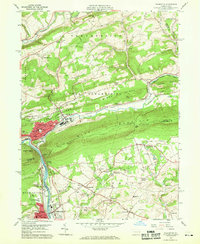
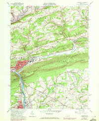
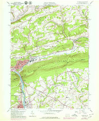
Editions of this 1960 Palmerton Map
6 editions found
Other maps of this area

1894 · Allentown
USGS Topo · 1:62,500

1902 · Slatington
USGS Topo · 1:62,500

1914 · Wind Gap
USGS Topo · 1:62,500

1916 · Wind Gap
USGS Topo · 1:62,500

1922 · Mauch Chunk
USGS Topo · 1:62,500

1924 · Mauch Chunk
USGS Topo · 1:62,500

1937 · Allentown West
USGS Topo · 1:48,000

1939 · Allentown
USGS Topo · 1:62,500

1942 · Allentown West
USGS Topo · 1:62,500

1943 · Mauch Chunk
USGS Topo · 1:62,500