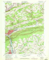
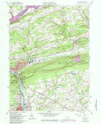
1960 Map of Palmerton
USGS Topo · Published 1972About this map
Palmerton stands as a focal point of industrial and topographical convergence, where the Aquashicola Creek meets the Lehigh River at the foot of Blue Mountain. The town's grid is dense with institutional landmarks, including Sacred Heart Ch, the local Hospital, and several schools such as Delaware Sch and Franklin Sch. To the south, the Lehigh Gap serves as a dramatic natural gateway through the ridge, carrying the Appalachian Trail and the parallel routes of the Lehigh Canal and the Lehigh Valley Railroad.
Find a feature on this map
77 named features on this map. Tap any name to fly to it.
Don’t see what you’re looking for? This feature index may not catch every label — zoom into the map to look around manually.
Map Details
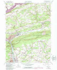
Editions of this 1960 Palmerton Map
6 editions found
Other maps of this area

1894 · Allentown
USGS Topo · 1:62,500

1902 · Slatington
USGS Topo · 1:62,500

1914 · Wind Gap
USGS Topo · 1:62,500

1916 · Wind Gap
USGS Topo · 1:62,500

1922 · Mauch Chunk
USGS Topo · 1:62,500

1924 · Mauch Chunk
USGS Topo · 1:62,500

1937 · Allentown West
USGS Topo · 1:48,000

1939 · Allentown
USGS Topo · 1:62,500

1942 · Allentown West
USGS Topo · 1:62,500

1943 · Mauch Chunk
USGS Topo · 1:62,500