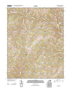
2013 Map of Palmyra
USGS Topo · Published 2013About this map
Palmyra serves as the focal point for this rural landscape along the Rivanna River, where the Pembroke Petit Bridge crosses the water. The area is defined by a network of small settlements and crossroad communities such as Central Plains, Cohasset, and Kidds Store. In the southern reaches, Fork Union and Weber City anchor the map near the drainages of North Cr and Judy Cr.
Find a feature on this map
87 named features on this map. Tap any name to fly to it.
Don’t see what you’re looking for? This feature index may not catch every label — zoom into the map to look around manually.
Map Details
Editions of this 2013 Palmyra Map
This is the sole edition of this map. No revisions or reprints were ever made.
Other maps of this area

1891 · Palmyra
USGS Topo · 1:125,000

1895 · Palmyra
USGS Topo · 1:125,000

1897 · Palmyra
USGS Topo · 1:125,000

1943 · Scottsville
USGS Topo · 1:62,500

1946 · Scottsville
USGS Topo · 1:62,500

1947 · Roanoke
USGS Topo · 1:250,000

1950 · Dillwyn
USGS Topo · 1:62,500

1958 · Dillwyn
USGS Topo · 1:62,500

1959 · Roanoke
USGS Topo · 1:250,000

1960 · Columbia
USGS Topo · 1:62,500