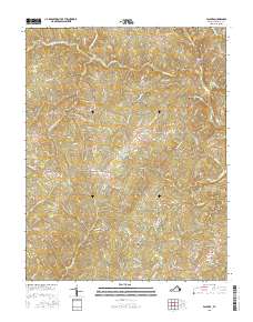
2016 Map of Palmyra
USGS Topo · Published 2016About this map
The Rivanna River flows through the heart of this landscape, anchoring the village of Palmyra and providing a natural corridor for the Pembroke Petit Bridge. In the south, the settlement of Fork Union sits at a junction of local routes, while the map reveals a network of rural communities including Cohasset, Weber City, and Rockaway. The terrain is defined by a dense system of waterways, from the Cunningham Cr and its many forks to Rockfish Cr and Bremo Cr.
Find a feature on this map
83 named features on this map. Tap any name to fly to it.
Don’t see what you’re looking for? This feature index may not catch every label — zoom into the map to look around manually.
Map Details
Editions of this 2016 Palmyra Map
This is the sole edition of this map. No revisions or reprints were ever made.
Other maps of this area

1891 · Palmyra
USGS Topo · 1:125,000

1895 · Palmyra
USGS Topo · 1:125,000

1897 · Palmyra
USGS Topo · 1:125,000

1943 · Scottsville
USGS Topo · 1:62,500

1946 · Scottsville
USGS Topo · 1:62,500

1947 · Roanoke
USGS Topo · 1:250,000

1950 · Dillwyn
USGS Topo · 1:62,500

1958 · Dillwyn
USGS Topo · 1:62,500

1959 · Roanoke
USGS Topo · 1:250,000

1960 · Columbia
USGS Topo · 1:62,500