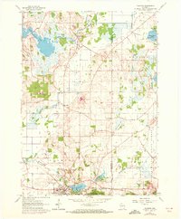
1960 Map of Palmyra
USGS Topo · Published 1972About this map
Glacial topography and marshland characterize this landscape on the Jefferson and Waukesha county line during the mid-twentieth century. The village of Palmyra serves as the primary hub, where the Chicago Milwaukee St Paul and Pacific railroad tracks pass near Spring Lake and Upper Spring Lake. The northern sections are defined by the winding course of the Bark River, which feeds into Rome Pond and passes the small cluster at Heath Mills.
Find a feature on this map
31 named features on this map. Tap any name to fly to it.
Don’t see what you’re looking for? This feature index may not catch every label — zoom into the map to look around manually.
Map Details
Editions of this 1960 Palmyra Map
2 editions found
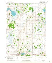
Other maps of this area

1892 · Watertown
USGS Topo · 1:62,500

1892 · Oconomowoc
USGS Topo · 1:62,500

1892 · Whitewater
USGS Topo · 1:62,500

1892 · Eagle
USGS Topo · 1:62,500

1893 · Whitewater
USGS Topo · 1:62,500

1894 · Watertown
USGS Topo · 1:62,500

1894 · Eagle
USGS Topo · 1:62,500

1897 · Eagle
USGS Topo · 1:62,500

1903 · Whitewater
USGS Topo · 1:62,500

1906 · Eagle
USGS Topo · 1:62,500