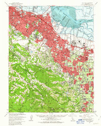
1961 Map of Palo Alto
USGS Topo · Published 1963About this map
Stanford University and the surrounding tech-corridor communities of Palo Alto, Mountain View, and Sunnyvale appear here during a period of massive suburban and industrial expansion. The map details a landscape transitioning from the bayfront marshes near Alviso and Cooley Landing to the established neighborhoods along El Camino Real. Significant institutional and military footprints dominate the eastern flats, including the sprawling Naval Air Station Moffett Field and the Ames Research Center, while the Southern Pacific railroad provides the backbone for the corridor's growth.
Find a feature on this map
123 named features on this map. Tap any name to fly to it.
Don’t see what you’re looking for? This feature index may not catch every label — zoom into the map to look around manually.
Map Details
Editions of this 1961 Palo Alto Map
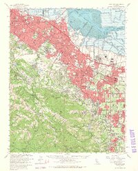
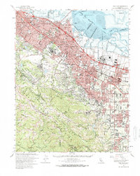
3 editions found
Other maps of this area

1889 · San Jose
USGS Topo · 1:62,500

1892 · San Mateo
USGS Topo · 1:62,500

1896 · San Mateo
USGS Topo · 1:62,500

1897 · San Jose
USGS Topo · 1:62,500

1897 · Palo Alto
USGS Topo · 1:62,500

1899 · San Jose
USGS Topo · 1:62,500

1899 · Palo Alto
USGS Topo · 1:62,500

1899 · Haywards
USGS Topo · 1:62,500

1899 · San Mateo
USGS Topo · 1:62,500

1902 · Santa Cruz
USGS Topo · 1:125,000