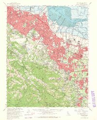
1961 Map of Palo Alto
USGS Topo · Published 1966About this map
The urban corridor of the San Francisco Peninsula meets the Santa Cruz Mountains in this early 1960s survey. Sprawling residential expansion in Palo Alto, Mountain View, and Sunnyvale is contrasted by the academic landscape of Stanford University and the heavy industrial presence of the Permanente Cement Plant near Monte Bello Ridge. The salt evaporators and sloughs of the southern San Francisco Bay define the northern edge, where the Naval Air Station Moffett Field stands as a prominent military landmark. Southward, the terrain climbs through Los Altos Hills toward the dense woods of Portola State Park. Transportation infrastructure including the Bayshore Freeway and the Southern Pacific railroad line indicates the region's rapid mid-century development. Notable institutional sites such as Agnews State Hospital and Maryknoll Seminary appear alongside numerous local schools and cemeteries, documenting the social infrastructure of a growing Silicon Valley.
Find a feature on this map
140 named features on this map. Tap any name to fly to it.
Don’t see what you’re looking for? This feature index may not catch every label — zoom into the map to look around manually.
Map Details
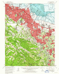
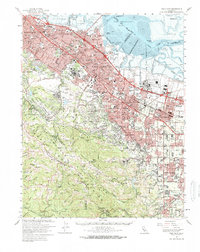
Editions of this 1961 Palo Alto Map
3 editions found
Other maps of this area

1889 · San Jose
USGS Topo · 1:62,500

1892 · San Mateo
USGS Topo · 1:62,500

1896 · San Mateo
USGS Topo · 1:62,500

1897 · San Jose
USGS Topo · 1:62,500

1897 · Palo Alto
USGS Topo · 1:62,500

1899 · San Jose
USGS Topo · 1:62,500

1899 · Palo Alto
USGS Topo · 1:62,500

1899 · Haywards
USGS Topo · 1:62,500

1899 · San Mateo
USGS Topo · 1:62,500

1902 · Santa Cruz
USGS Topo · 1:125,000