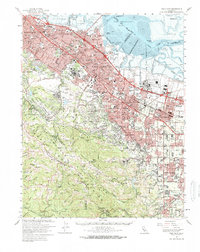
1961 Map of Palo Alto
USGS Topo · Published 1966About this map
Stanford University serves as a massive cultural and educational anchor for the Mid-Peninsula, surrounded by the rapidly expanding residential tracts of Palo Alto, Menlo Park, and Atherton. In the early 1960s, this landscape transitioned from its agricultural roots to a center of Cold War technology and aerospace research, anchored by the Ames Research Center and the Naval Air Station at Moffett Field. The map captures the suburbanization following the Bayshore Freeway and El Camino Real, while the southwestern hills remain dominated by the San Andreas Rift Zone. Industry is notably present at the Permanente Quarry and adjacent Cement Plant in the Santa Cruz Mountains foothills, contrasting with the dense development in Mountain View and Sunnyvale. The Southern Pacific rail line remains a vital artery, connecting the string of valley towns before the high-tech boom fully reshaped the region's economy.
Find a feature on this map
116 named features on this map. Tap any name to fly to it.
Don’t see what you’re looking for? This feature index may not catch every label — zoom into the map to look around manually.
Map Details
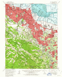
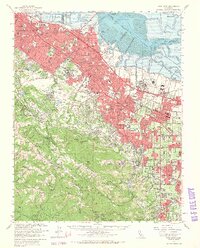
Editions of this 1961 Palo Alto Map
3 editions found
Other maps of this area

1889 · San Jose
USGS Topo · 1:62,500

1892 · San Mateo
USGS Topo · 1:62,500

1896 · San Mateo
USGS Topo · 1:62,500

1897 · San Jose
USGS Topo · 1:62,500

1897 · Palo Alto
USGS Topo · 1:62,500

1899 · San Jose
USGS Topo · 1:62,500

1899 · Palo Alto
USGS Topo · 1:62,500

1899 · Haywards
USGS Topo · 1:62,500

1899 · San Mateo
USGS Topo · 1:62,500

1902 · Santa Cruz
USGS Topo · 1:125,000