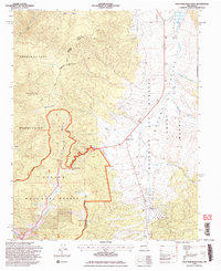
1995 Map of Palo Flechado Pass
USGS Topo · Published 2006About this map
Palo Flechado Pass serves as a critical high-altitude crossing point on this mid-1990s survey, marking the transition between the high peaks of the Carson National Forest and the broad expanses of the Moreno Valley. The terrain is defined by complex land grants and indigenous boundaries, where the Pueblo de Taos Indian Reservation meets the Maxwell Land Grant and the Beaubien and Moreno Grant.
Find a feature on this map
35 named features on this map. Tap any name to fly to it.
Don’t see what you’re looking for? This feature index may not catch every label — zoom into the map to look around manually.
Map Details
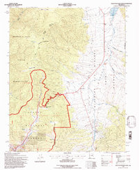
Editions of this 1995 Palo Flechado Pass Map
2 editions found
Other maps of this area

1954 · Raton
USGS Topo · 1:250,000

1955 · Ute Park
USGS Topo · 1:62,500

1956 · Tooth Of Time
USGS Topo · 1:62,500

1958 · Raton
USGS Topo · 1:250,000

1963 · Wheeler Peak
USGS Topo · 1:24,000

1963 · Eagle Nest
USGS Topo · 1:24,000

1965 · Osha Mountain
USGS Topo · 1:24,000

1965 · Palo Flechado Pass
USGS Topo · 1:24,000

1965 · Pueblo Peak
USGS Topo · 1:24,000

1965 · Shady Brook
USGS Topo · 1:24,000