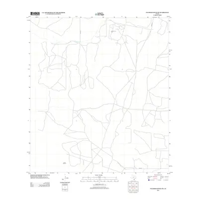
2013 Map of Palomas Ranch NW
USGS Topo · Published 2013About this map
Palo Blanco Oil Field dominates the northern landscape of this Jim Hogg County region, illustrating the continued significance of petroleum extraction in South Texas. The terrain is defined by the ephemeral passage of Palo Blanco Cr, which provides the primary drainage through an area largely managed for ranching and resource development. Infrastructure is characterized by a network of county routes, including Co Rd-109 and Co Rd 107, which connect remote industrial and agricultural sites. Evidence of traditional water management for livestock is found at Vaquias Windmill in the southern portion of the sheet. This survey offers a precise look at the rural landscape and industrial footprint at the beginning of the twenty-first century, documenting the precise locations of well pads and ranch roads before subsequent landscape changes.
Find a feature on this map
6 named features on this map. Tap any name to fly to it.
Don’t see what you’re looking for? This feature index may not catch every label — zoom into the map to look around manually.
Map Details
Editions of this 2013 Palomas Ranch NW Map
This is the sole edition of this map. No revisions or reprints were ever made.
Other maps of this area

1921 · Falfurrias
USGS Topo · 1:125,000

1956 · Laredo
USGS Topo · 1:250,000

1967 · Hebbronville SE
USGS Topo · 1:24,000

1968 · Palomas Ranch NW
USGS Topo · 1:24,000

1968 · Palomas Ranch SW
USGS Topo · 1:24,000

1968 · Palomas Ranch SE
USGS Topo · 1:24,000

1968 · Palomas Ranch
USGS Topo · 1:24,000
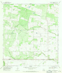
1969 · Laguna Del Toro
USGS Topo · 1:24,000
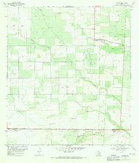
1969 · Ramirez
USGS Topo · 1:24,000
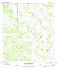
1972 · Alta Vista Ranch
USGS Topo · 1:24,000